Ah, summer vacation! What could be better?
It has been said that August is the national vacation month for the United States. From the increased traffic on the highway, I truly believe that statement is correct. August and vacation travels are definitely a perfect combination: a great way to wind down summer fun before heading back to school.
Today's blog post combines the awesomeness of summer vacation with the excitement of the soon-to-begin school year. By combining the travel destination with math and geography activities, your little ones will be eager to share their summer travel experiences with their classmates.
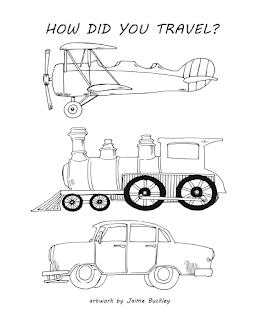
I have collaborated with a very talented artist, Jaime Buckley, to create a sent of printables and activity suggestions to plot, graph, compare, and discuss summer travels. Did your kiddos have a STAY-cation? No problem. Plot the local destinations that the kiddos visited:the pool, the park, the theater, museums, etc. Combine the distances for each. Your STAY-cation might end up having the highest mileage total of all the kids in your neighborhood.
Travel the World Activities
1. Use the outline of your state, region, country, or continent to plot the distance each child traveled for their vacation. Use online resources to compute the distance traveled.
2. Use the distance traveled to compare with other children in the group. This is a great opportunity to review math concepts such a ordering numbers from least to greatest, greatest to least, calculating the average, calculating the range, etc.
3. Create a bar graph representing the number of children that traveled to a particular spot.
4. Create a pictograph representing the method of travel used by each child.
5. Create a picture with the travel methods. Students can add their own picture or drawing to represent themselves.
The images and printables presented in this activity may be used for no more than one classroom or group. Credit for the artwork must be given to Jaime Buckley, artist of Pickled Pumpkin Pie by Deb Troehler.


